05 Oct, 2026
FIRE POTENTIAL MONITORING EXPEDITION
CONSERVATION SUPPORT
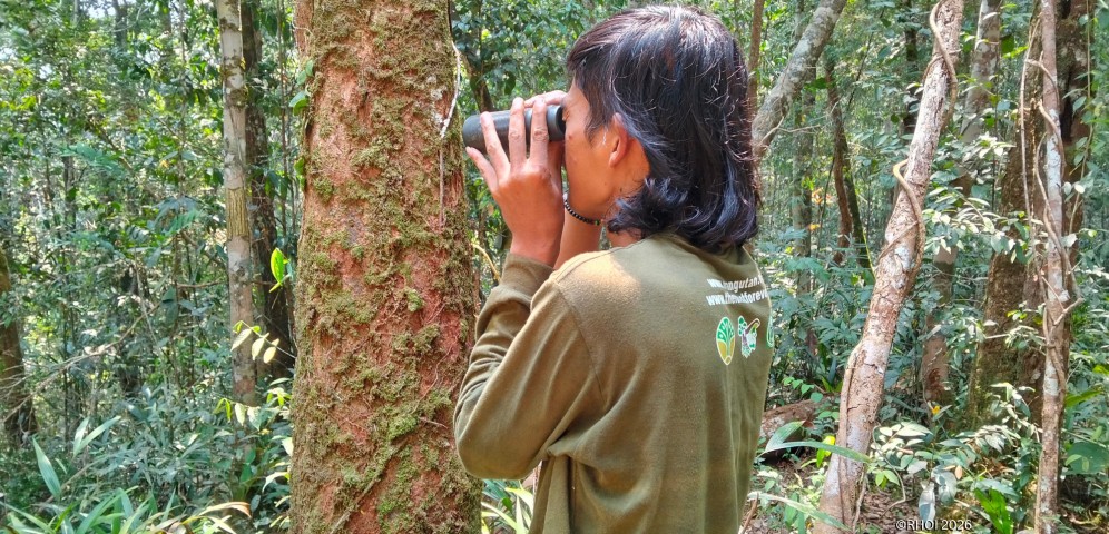
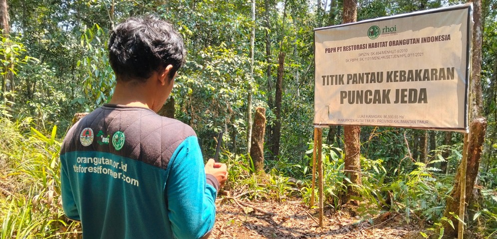
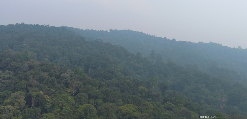
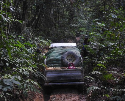
As a Forest Utilization Business License holder for Ecosystem Restoration (PBPH-RE), PT Restorasi Habitat Orangutan Indonesia (RHOI) carries the responsibility to safeguard forest areas and ensure their ecosystem functions remain protected.
One of the routine efforts undertaken is security and fire risk monitoring expeditions. This activity aims to detect potential threats early, map ground conditions, and identify factors that could increase the risk of forest fires.
Monitoring High-Risk Trails
Fire prevention cannot rely solely on remote monitoring. Data from satellite imagery and ground monitoring complement each other, while direct patrols are necessary to inspect area conditions and ascertain situations that may not always be visible from remote sensing data.
During this expedition, the team traversed several trails deemed to require special attention. Monitoring was focused on three main aspects. First, detecting human activities that could potentially increase the risk of fire. The team inspected three huts previously used by gaharu (agarwood) seekers to check surrounding conditions and see if there were signs of new activity or potential fire sources.
Second, the team mapped water sources that could play an important role in fire suppression should a fire occur. Third, the team identified high ground that could serve as lookout points to help detect the emergence of smoke over a wider area.
Amid these monitoring activities, the team also encountered various wildlife species, including junglefowl, wild boars, muntjacs, hornbills, and wreathed hornbills. These encounters were recorded in the field logs, indicating that the monitored area continues to support a diverse array of wildlife.
Challenges in the Field
The journey along several monitoring trails proved quite challenging during this expedition. Continuously ascending terrain demanded extra physical exertion, while heavy rain made the trails slippery and slowed the team's movement.
Another challenge was the limited availability of water sources. Along the traversed route, the team found no usable water sources and had to rely entirely on the supplies they carried. These conditions made the management of water consumption and logistics increasingly critical throughout the journey.
Despite facing various obstacles, this expedition provided valuable experience for the team in understanding the direct conditions of the area. The ground experience also serves as part of an evaluation process to strengthen preparedness and coordination for subsequent patrol executions.
Fire risk monitoring is work that demands consistency. Every inspected trail, recorded human activity, mapped water source location, and documented area condition forms part of the efforts to build a forest protection system that is better prepared to face the threat of fires.
Text by: REPPHK Team, PT RHOI, East Kalimantan.
- Share
-

-